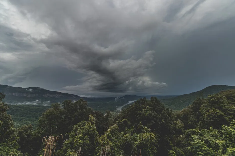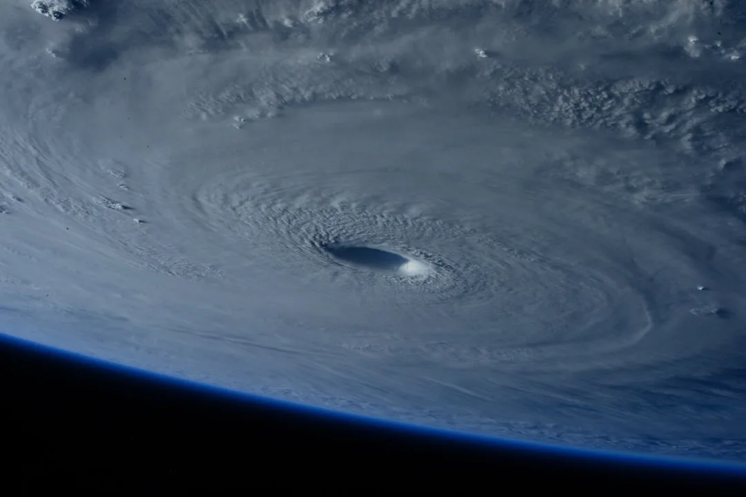
Super El Niño is currently reshaping global weather patterns as warmer-than-average waters accumulate in the central and eastern Pacific Ocean. This phenomenon alters atmospheric pressure, triggering a cascade of severe weather events across North America, Asia, and South America.
These events occur when trade winds weaken, allowing warm water to push eastward toward the Americas. According to the National Oceanic and Atmospheric Administration (NOAA), strong El Niño events can raise sea surface temperatures by more than 2 degrees Celsius above average, disrupting the delicate balance of the marine ecosystem.
Experts at the World Meteorological Organization explain that these temperature spikes disrupt the jet stream, which typically steers storms across the globe, effectively relocating rain belts and altering precipitation patterns.
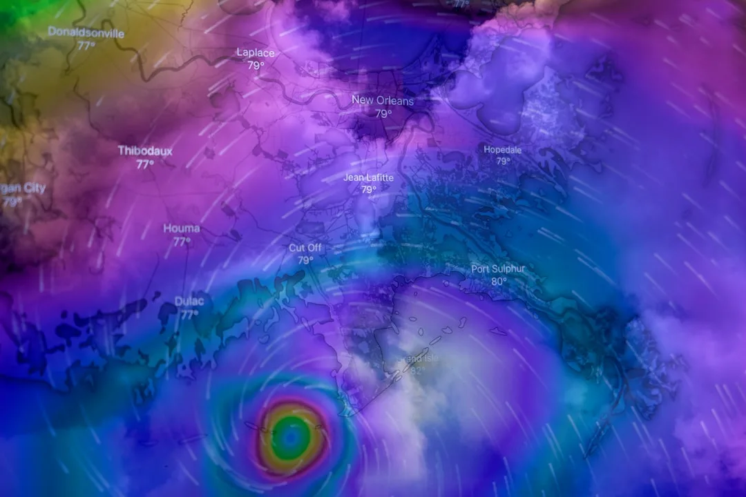
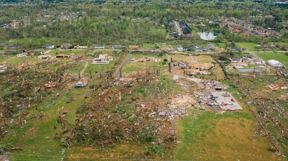
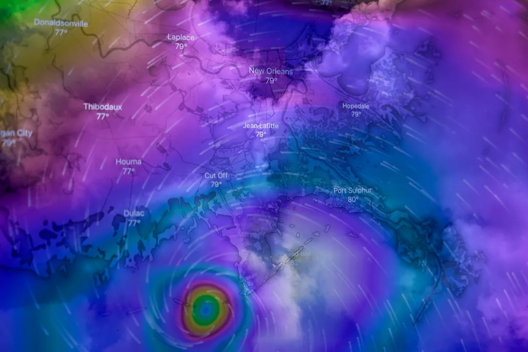
The shift in the jet stream often brings heavier-than-normal precipitation to the southern United States and Mexico. This increased moisture can lead to catastrophic flooding and landslides in vulnerable coastal regions, while simultaneously reducing the frequency of Atlantic hurricanes due to increased vertical wind shear that rips storms apart before they can organize.
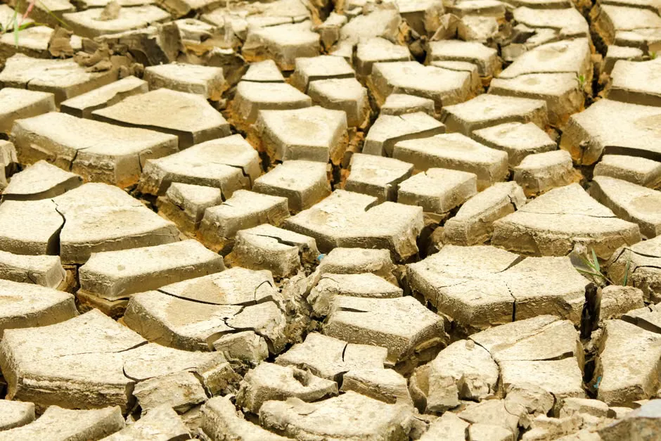
Conversely, regions like Australia and Indonesia often face severe droughts during these cycles. The lack of rainfall increases the risk of devastating wildfires and threatens agricultural productivity in Southeast Asia, potentially destabilizing global food prices for staples like palm oil and rice while causing severe water shortages in urban centers.
Climate scientists are now monitoring the rate of ocean warming to predict the peak intensity of the current cycle. Future forecasts will focus on the transition toward La Niña, which typically brings opposite weather extremes and often follows a strong El Niño event in a pendulum-like swing of atmospheric conditions.
El Niño is part of the El Niño-Southern Oscillation (ENSO) cycle, a naturally occurring phenomenon that fluctuates every few years. While not caused by climate change, global warming may intensify the severity of these events, making "Super" versions more frequent and destructive, as seen in the historic 1997-1998 event that caused billions in damages globally.
The Global Impact of Super El Niño
The broader implications of this cycle extend to the global economy, particularly in the fisheries of South America. When the coastal waters off Peru and Ecuador warm, the upwelling of nutrient-rich cold water stops, leading to a collapse in anchovy populations and a ripple effect throughout the global seafood supply chain.
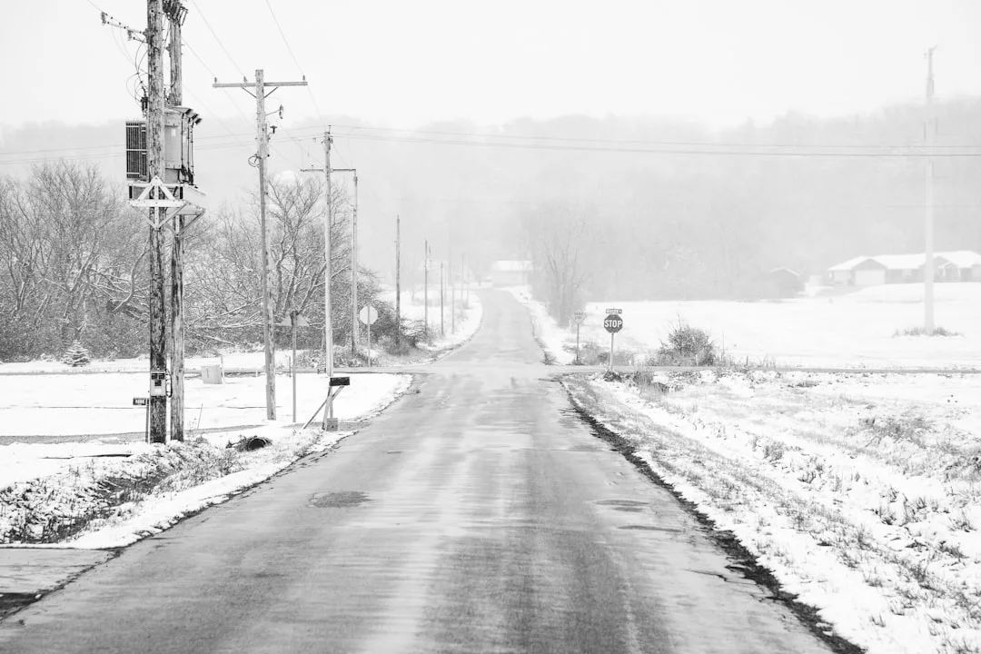
Furthermore, the atmospheric response extends to the northern hemisphere, where winters may be significantly milder in Canada and the northern United States. This temperature fluctuation disrupts winter crop dormancy and affects energy demand for heating, creating a complex set of challenges for utility providers and farmers alike.
Key questions
- What is a Super El Niño?
- A Super El Niño is an exceptionally strong phase of the El Niño-Southern Oscillation cycle. It is characterized by significantly higher than average sea surface temperatures in the central and eastern Pacific Ocean, leading to extreme global weather disruptions.
- How does Super El Niño affect the United States?
- It typically brings increased rainfall and flooding to the southern U.S. and Gulf Coast regions. Meanwhile, the northern U.S. and Canada often experience milder-than-average winter temperatures.