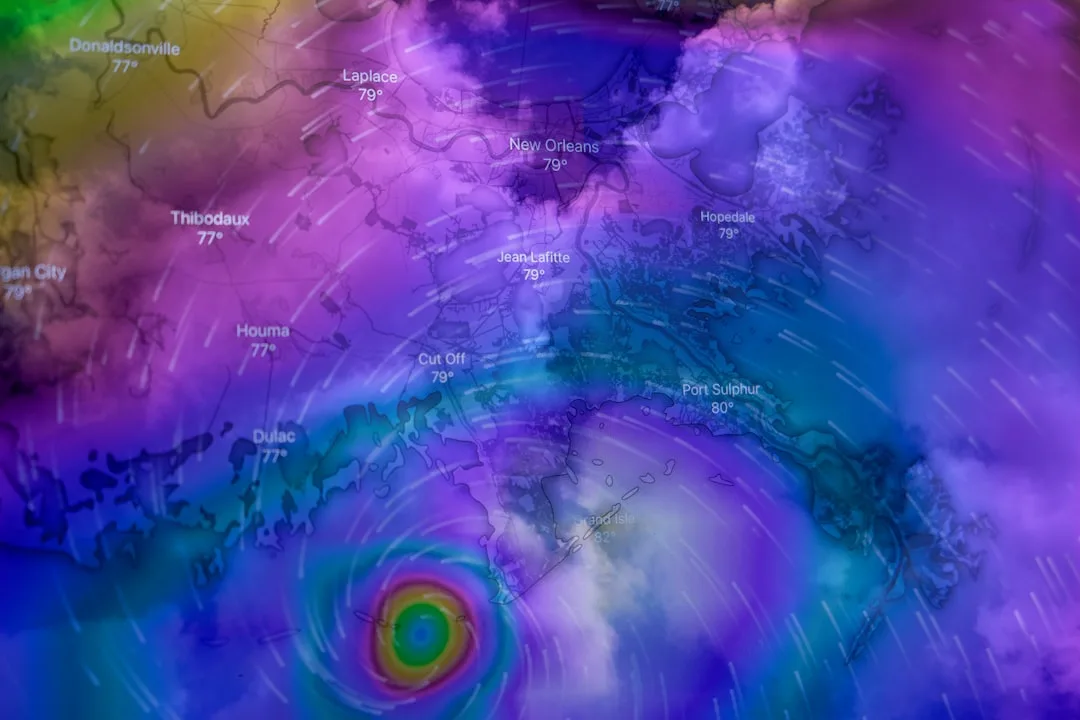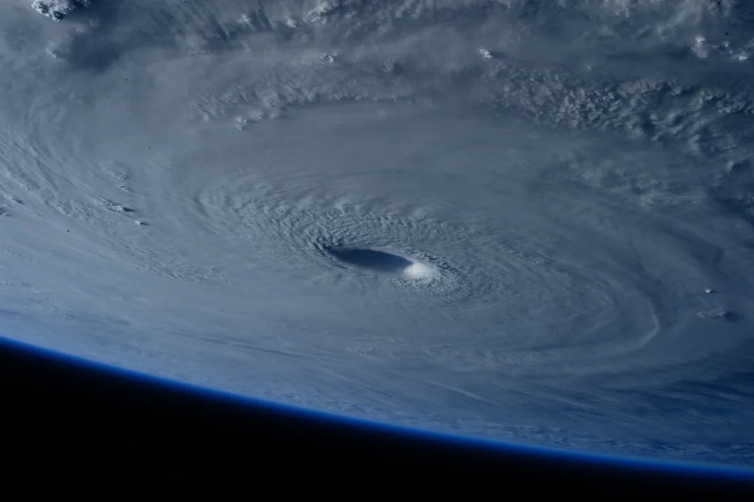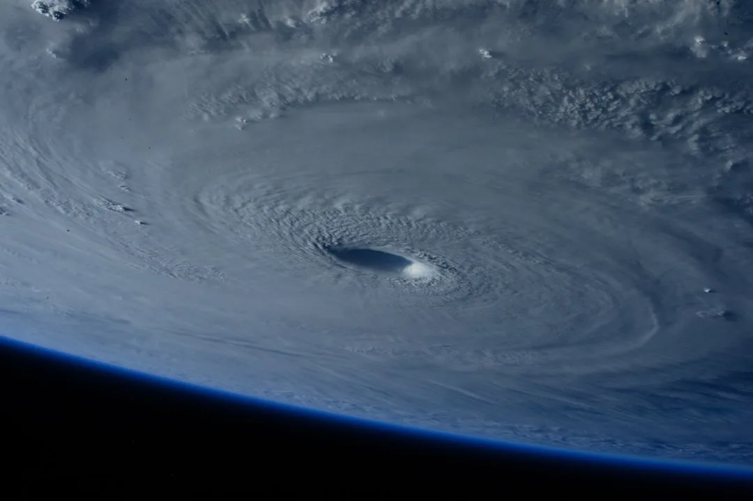
The Atlantic hurricane season is entering its peak period, with meteorological agencies reporting a notable uptick in tropical wave activity across the main development region. This phase, historically occurring from mid-August through late October, accounts for approximately 78% of all seasonal named storms according to NOAA climate data.
Sea surface temperatures in the tropical Atlantic remain above average, providing ample energy for storm intensification, while vertical wind shear has decreased to levels conducive to tropical cyclone formation. The National Hurricane Center is currently monitoring multiple disturbances, including a tropical wave near the Lesser Antilles showing signs of organization.
Dr. Maria Chen, lead hurricane specialist at NOAA's National Hurricane Center, stated: We are observing conditions that align with historical peak season patterns, including elevated ocean heat content and favorable upper-level winds. Residents in hurricane-prone areas should ensure their preparedness plans are current and review evacuation routes.
Climate scientists note that while seasonal forecasts predicted an above-average year, the current trajectory suggests activity may exceed initial projections. The Madden-Julian Oscillation, a tropical weather pattern, is positioned to enhance convective activity over the Atlantic in the coming weeks, potentially triggering additional storm development.
Emergency management officials across coastal states are reviewing response protocols and urging residents to prepare emergency kits containing essential supplies for at least seven days. Historical analogs indicate that peak season storms often originate near the Cape Verde islands, providing longer lead times for preparation compared to Gulf of Mexico formations.
Atlantic Hurricane Season Peak Dynamics
The peak of the hurricane season is driven by a combination of thermodynamic and dynamic factors that maximize storm potential. Ocean temperatures typically reach their annual maximum in early September, while atmospheric instability and moisture availability create ideal conditions for tropical wave amplification. This convergence explains why over three-quarters of major hurricanes form during this window.
Long-term climate trends are modifying these patterns, with sea surface temperatures rising at approximately 0.13°C per decade in the main development region. This warming trend extends the favorable conditions for storm formation and may contribute to rapid intensification events, posing challenges for forecast accuracy and emergency response timing.
Looking ahead, forecast models suggest continued elevated activity through September, with potential impacts extending into October depending on steering currents. Coastal communities are advised to maintain vigilance through the official season end date of November 30, as late-season storms can still produce significant impacts, particularly in the Caribbean and western Atlantic.
Preparedness remains the most effective mitigation strategy, with experts emphasizing that individual household planning complements broader community resilience efforts. Understanding local flood risks, securing property, and maintaining communication plans are critical components of effective hurricane readiness regardless of seasonal forecasts.
Key questions
- When does the Atlantic hurricane season typically peak?
- The Atlantic hurricane season historically peaks from mid-August through late October, with approximately 78% of all named storms forming during this period. This timeframe coincides with maximum ocean temperatures and minimal wind shear in the main development region.
- What conditions contribute to increased tropical storm formation during peak season?
- Peak season activity is driven by elevated sea surface temperatures, reduced vertical wind shear, high atmospheric moisture content, and favorable upper-level wind patterns. These factors combine to create optimal conditions for tropical waves to organize and intensify into named storms.