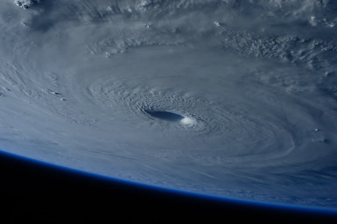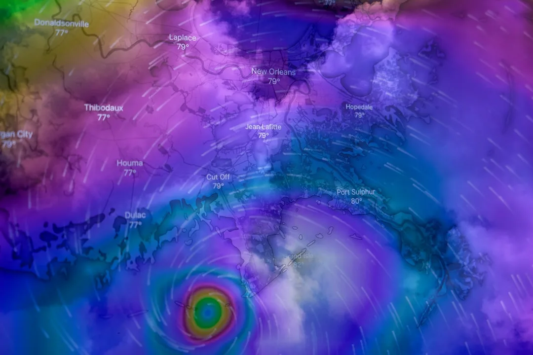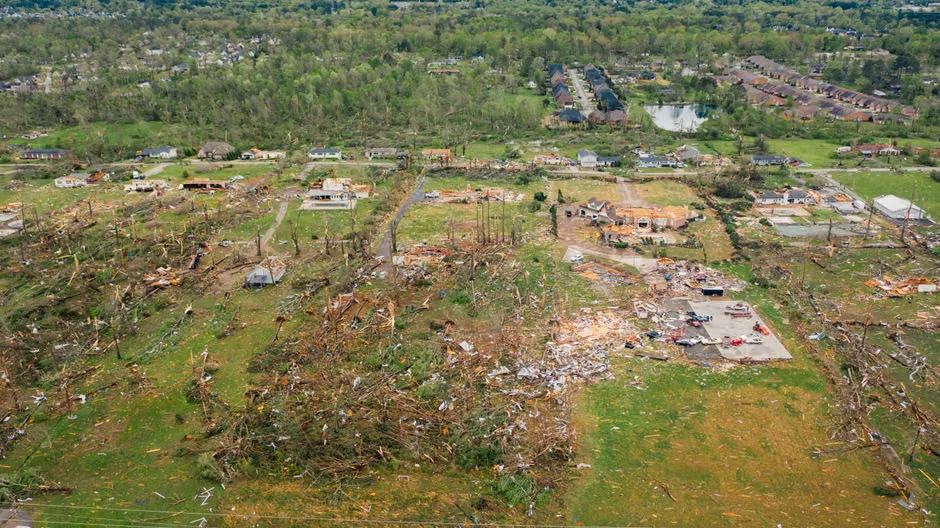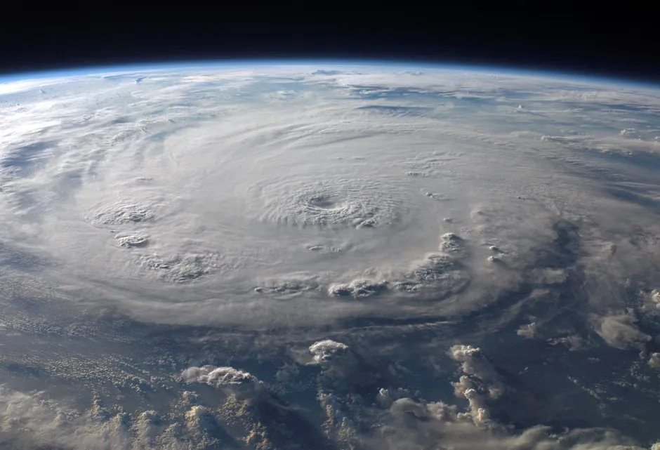
The National Hurricane Center (NHC) is currently tracking three distinct disturbances across the Atlantic Ocean as of late August, with forecasters assessing their potential for tropical cyclone development. The systems include two tropical waves moving westward across the central and eastern Atlantic and a broad area of low pressure located several hundred miles northeast of the Leeward Islands. None of the disturbances are currently organized enough to be classified as tropical depressions, but environmental conditions are being closely monitored for any signs of organization.
According to the NHC's latest tropical weather outlook, one of the tropical waves has a 20% chance of developing into a tropical cyclone over the next 48 hours, while the other systems have lower probabilities due to moderate wind shear and dry air intrusion. Meteorologists note that sea surface temperatures in the region remain above average, providing ample energy for potential development if atmospheric conditions become more favorable. The peak of the Atlantic hurricane season typically occurs between mid-August and late October, with September historically being the most active month for storm formation.
We're seeing typical patterns for this time of year, with multiple waves emerging from Africa and moving across the basin, said Dr. Lisa Carter, a hurricane specialist at the NHC. While none of these systems pose an immediate threat to land, we continue to monitor them closely as they progress westward.
Forecast models show varying trajectories for the disturbances, with some indicating a possible northward turn before reaching the Caribbean, while others suggest a continued westward path toward the Lesser Antilles. The system northeast of the Leeward Islands is expected to encounter increasing wind shear in the coming days, which may inhibit development. However, forecasters caution that conditions can change rapidly, and even weakly organized systems can produce heavy rainfall and gusty winds as they move through the region.
Residents in hurricane-prone areas are advised to stay informed through official channels and ensure their preparedness plans are up to date, even when no immediate threats are present. The NHC emphasizes that preparedness should be a year-round effort, particularly as climate patterns continue to influence storm frequency and intensity. Historical data shows that early-season vigilance often leads to better outcomes when stronger systems develop later in the season.
Atlantic Hurricane Season Preparedness Remains Critical
Beyond immediate tracking, the NHC continues to stress the importance of community readiness and access to reliable weather information throughout the hurricane season. Emergency management officials recommend reviewing evacuation routes, assembling disaster supply kits, and verifying insurance coverage well before any storm approaches. Public awareness campaigns have been expanded in recent years to reach vulnerable populations, including elderly residents and those in mobile homes, who may face greater risks during tropical weather events.
Long-term climate trends indicate that while the total number of Atlantic hurricanes may not increase significantly, the proportion of major hurricanes (Category 3 or higher) has risen in recent decades. This shift underscores the need for resilient infrastructure and adaptive planning in coastal communities. As the current disturbances continue to be monitored, the NHC will issue updates should any system show signs of strengthening or pose a increased threat to land areas.
Key questions