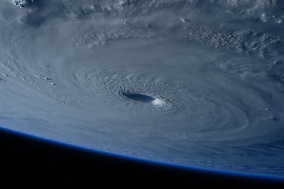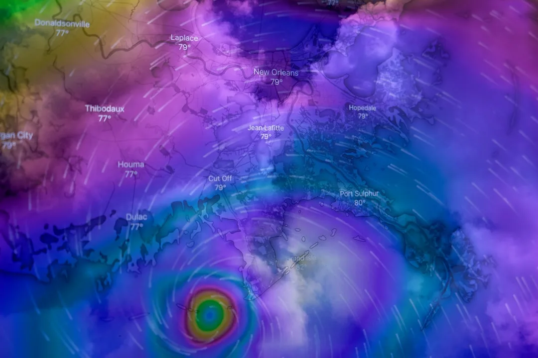
The National Hurricane Center (NHC) is currently tracking three separate weather systems across the Atlantic basin that show potential for tropical cyclone development in the coming days, according to the latest tropical weather outlook issued on Monday. These disturbances are located in different regions of the ocean, each under evaluation for possible organization into tropical depressions or storms as atmospheric conditions remain favorable in certain areas.
One system is situated several hundred miles east of the Lesser Antilles, producing disorganized showers and thunderstorms amid moderate wind shear. Another area of interest lies near the southeastern Bahamas, where a surface trough is interacting with an upper-level low, generating scattered convection. The third system is positioned far east in the central Atlantic, showing minimal organization but embedded in a moist environment that warrants continued monitoring.
While none of these systems are currently classified as tropical depressions, we are watching them closely for any signs of increased organization, said Dr. Michael Brennan, director of the National Hurricane Center. Environmental factors such as sea surface temperatures and mid-level humidity are supportive in some regions, though wind shear remains a limiting factor for rapid development.
Sea surface temperatures across much of the tropical Atlantic remain above average, providing ample oceanic heat content that could fuel tropical cyclone formation if other atmospheric conditions align. However, persistent wind shear and dry air intrusions have so far prevented significant organization in all three areas, according to NHC analysis.
Forecast models show divergent solutions for each system over the next five days, with some indicating slow drift westward or northwestward while others suggest dissipation due to unfavorable upper-level winds. The NHC emphasizes that even if development occurs, any potential tropical cyclone would likely remain weak and disorganized in the short term.
Historical Context and Seasonal Outlook
This level of mid-season Atlantic activity aligns with historical patterns, as the period from mid-August through late September typically accounts for the majority of tropical cyclone formations in the basin. The 2024 hurricane season has already seen several named storms, and current conditions suggest the basin may remain active through the peak months.
Climate factors including a transitioning El Niño pattern and above-average sea surface temperatures continue to influence the seasonal outlook, with most forecast agencies predicting an above-average number of named storms for the year. Residents in hurricane-prone regions are advised to remain vigilant and ensure preparedness plans are up to date.
Key questions
- What does it mean when the NHC says a system is 'under watch for development'?
- When the National Hurricane Center designates a weather system as 'under watch for development,' it means forecasters are monitoring the area for signs of organization into a tropical depression or storm. This designation does not indicate immediate threat but reflects potential for gradual development if environmental conditions such as low wind shear, warm ocean waters, and sufficient moisture become more favorable over time.
- How likely are these three Atlantic systems to develop into tropical storms?
- As of the latest outlook, none of the three systems show strong signs of immediate development, with the NHC assigning low to medium probabilities of formation over the next 48 hours. Development, if it occurs, is expected to be slow and limited due to inhibiting factors like wind shear and dry air, though forecasters will continue to monitor for any changes in organization or intensity.