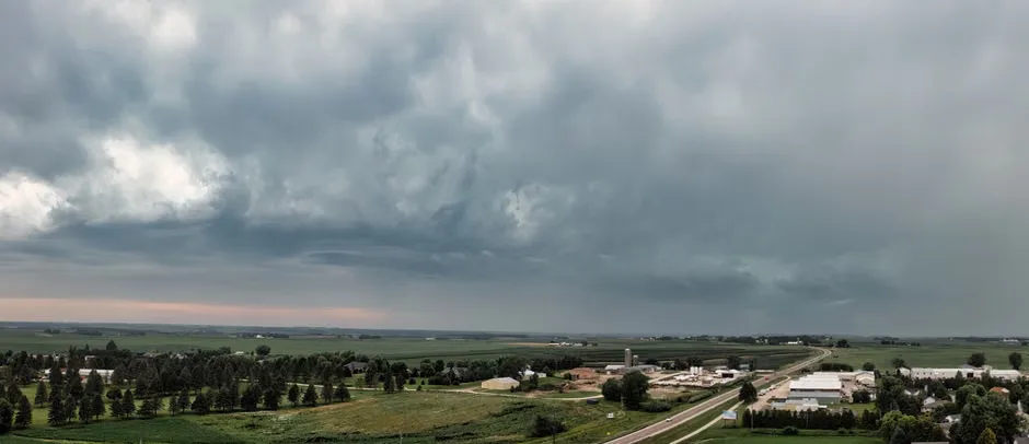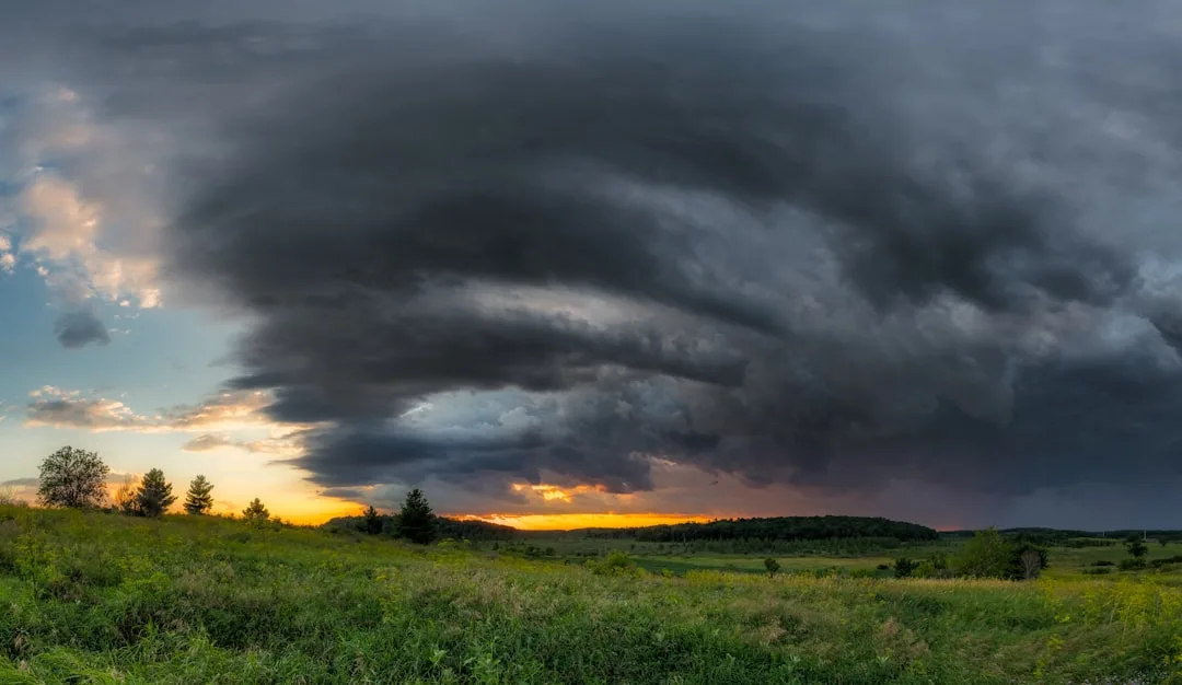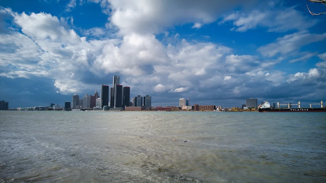
Storm chances return to the Detroit metropolitan area this afternoon as a weak upper-level disturbance approaches from the west, increasing the likelihood of scattered thunderstorms across Wayne, Oakland, and Macomb counties after 2 PM. The National Weather Service has issued a marginal risk for severe weather, primarily citing damaging wind gusts up to 50 mph and brief heavy rainfall as the main threats, with activity expected to diminish after sunset.
Context shows today's storm potential follows a relatively dry morning period, with dew points climbing into the mid-60s Fahrenheit, providing sufficient moisture for storm development. According to WDIV Local 4 meteorologists, atmospheric instability values are forecast to reach 500-1000 J/kg, enough to support isolated to scattered thunderstorm coverage, though wind shear remains limited, reducing the tornado threat significantly.
We're looking at a classic summer afternoon storm setup where heating and moisture combine to produce scattered cells, but without strong wind shear, we don't expect organized severe weather, said Paul Gross, meteorologist at WDIV Local 4, during the station's noon weather briefing.
Analysis indicates the current pattern reflects a broader trough digging into the Great Lakes region, which will prevent high pressure from building firmly over the area. This configuration allows repeated impulses of energy to rotate through the Midwest, maintaining chances for daily convection through at least Thursday, with each disturbance potentially triggering another round of afternoon and evening storms.
Further analysis suggests the weekend unsettled weather will be driven by a slow-moving frontal boundary stalling near the Ohio Valley, which could focus persistent moisture and lift over southern Michigan. This scenario raises the possibility of training thunderstorms—where multiple storm cells move over the same area—increasing localized flooding risks, particularly in urban drainage systems and low-lying areas near the Rouge and Clinton rivers.
Storm Chances Return This Afternoon
Looking ahead, forecasters anticipate the unsettled pattern may persist into early next week as the stalled front gradually weakens and shifts northward, allowing drier air to eventually infiltrate the region from the northwest. However, confidence in precise timing decreases beyond Saturday, with model divergence increasing regarding when the boundary will finally lift out of the area.Evergreen background notes that southeast Michigan typically experiences its highest frequency of thunderstorm days during July and August, averaging 8-10 storm days per month according to 30-year climatological data from Detroit Metropolitan Airport. The current pattern, while active, remains within seasonal norms for mid-summer weather variability in the Great Lakes basin.
Key questions
- What time are storms most likely to develop this afternoon in Detroit?
- Scattered thunderstorms are most likely to develop after 2 PM this afternoon across Wayne, Oakland, and Macomb counties, with the highest coverage expected between 3 PM and 7 PM as daytime heating peaks and atmospheric instability increases.
- How long will the unsettled weather pattern last over southeast Michigan?
- The unsettled weather pattern is expected to persist through the weekend and possibly into early next week, with daily chances of afternoon and evening thunderstorms continuing as a slow-moving frontal boundary remains stalled near the region, limiting prolonged dry periods.