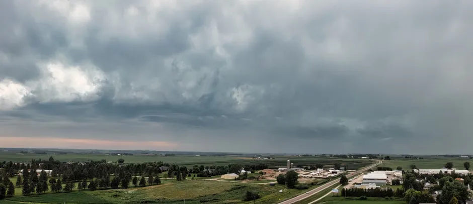
Scattered thunderstorms developed across Minnesota on Friday afternoon, moving slowly from west to east and bringing brief but intense rainfall to parts of the Twin Cities metro area and surrounding counties. The storms formed along a lingering frontal boundary and were fueled by daytime heating and moderate atmospheric instability, according to the National Weather Service.
Radar imagery showed multiple storm cells producing rainfall rates of up to 1 inch per hour in isolated locations, with the heaviest activity concentrated over Dakota, Scott, and Le Sueur counties. Wind gusts reached 40 to 50 mph in some areas, prompting temporary severe thunderstorm warnings from the NWS Twin Cities office. No tornadoes were reported, and hail remained pea-sized or smaller.
These storms were typical of a summer pattern where daytime heating triggers isolated convection along old boundaries, said meteorologist Sven Sundgaard of FOX 9. They weren’t widespread, but where they hit, they dropped rain quickly and caused brief wind concerns.
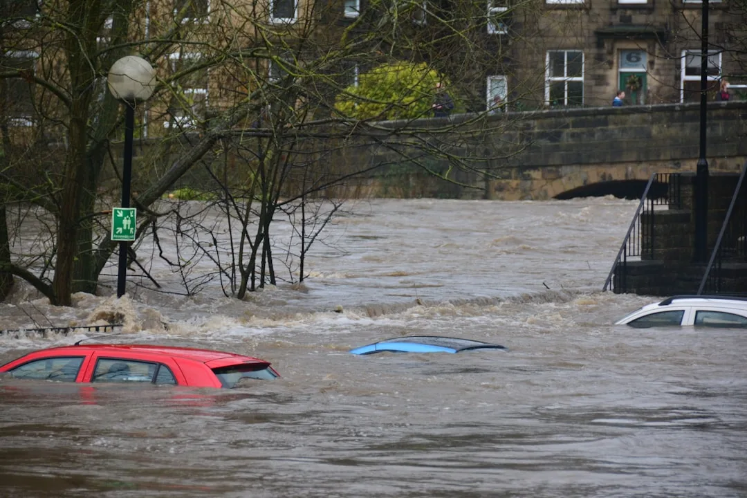
The slow movement of the storms increased the risk of localized flooding in urban areas with poor drainage, particularly in low-lying sections of Minneapolis and St. Paul. Emergency management officials monitored roadways for standing water but reported no major incidents or closures by early evening.
By Friday night, the storm activity had diminished as temperatures cooled and the stabilizing influence of nighttime reduced atmospheric energy. Leftover clouds lingered into Saturday morning, but skies began to clear across much of southern Minnesota by sunrise.
While the rain provided some relief from recent dry conditions, precipitation totals remained highly variable, with some areas receiving less than a tenth of an inch while nearby locations recorded over half an inch. This variability is common with scattered thunderstorm events, which often miss large portions of the forecast area.
Scattered Storms Typical of Minnesota Summer Pattern
Isolated thunderstorm coverage like Friday’s is characteristic of Minnesota’s warm season, especially during July and August when daytime heating interacts with weak frontal zones or lake breeze boundaries. These storms rarely produce severe weather over wide areas but can create hazardous conditions in the immediate vicinity of each cell.
Climate data from the Minnesota State Climatology Office shows that summer afternoons see the highest frequency of thunderstorm activity between 2 p.m. and 7 p.m., aligning with the timing of Friday’s event. While individual storms are short-lived, their cumulative impact contributes significantly to seasonal rainfall totals in agricultural and urban regions alike.
Key questions
- Were any tornadoes reported during the Friday storms in Minnesota?
- No tornadoes were reported during the scattered thunderstorms that moved through Minnesota on Friday afternoon. The National Weather Service confirmed that while wind gusts reached up to 50 mph in some areas, there was no evidence of tornadic activity from radar or ground reports.
- How much rain did the scattered storms bring to the Twin Cities area?
- Rainfall totals varied widely across the Twin Cities metro area due to the scattered nature of the storms. Some locations received less than a tenth of an inch, while nearby areas in Dakota and Scott counties recorded over half an inch, reflecting the typical hit-or-miss pattern of isolated summer thunderstorms.