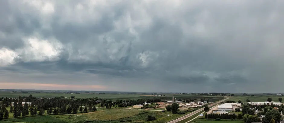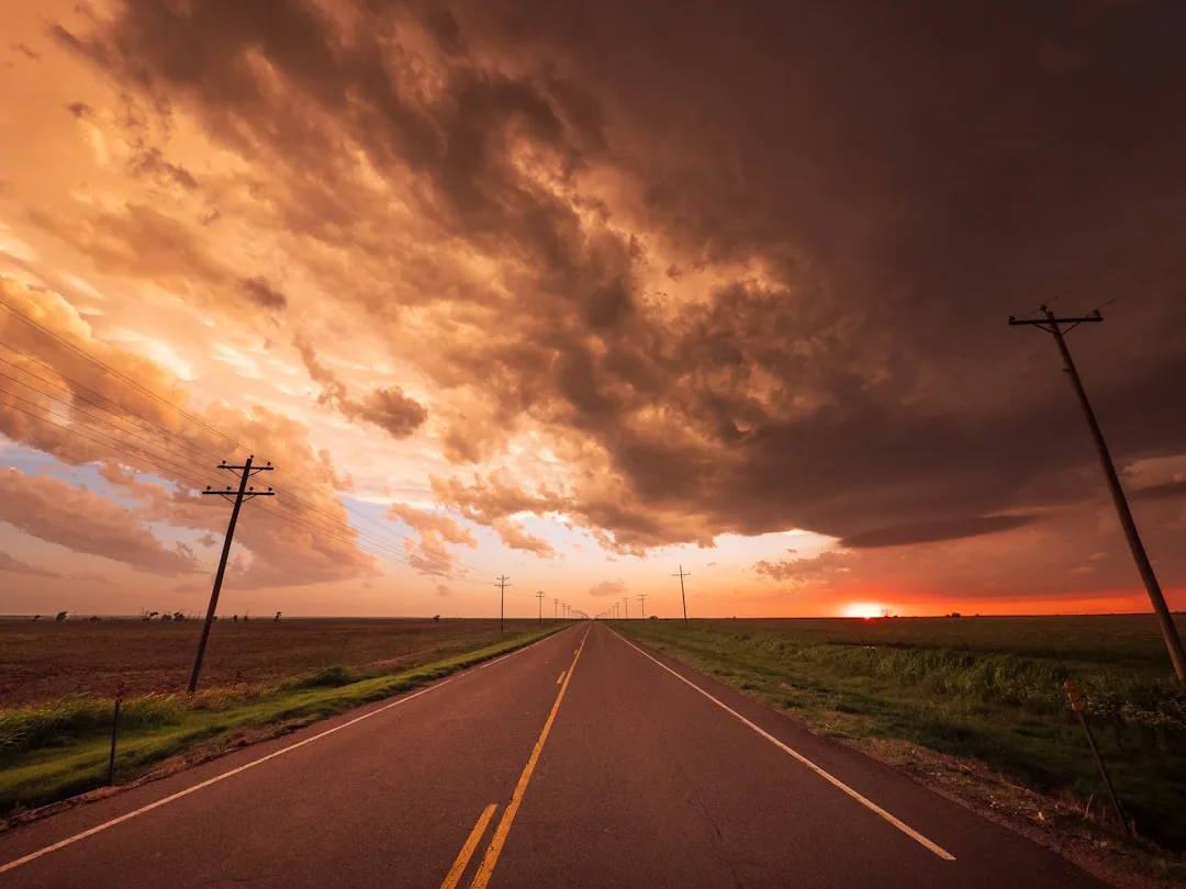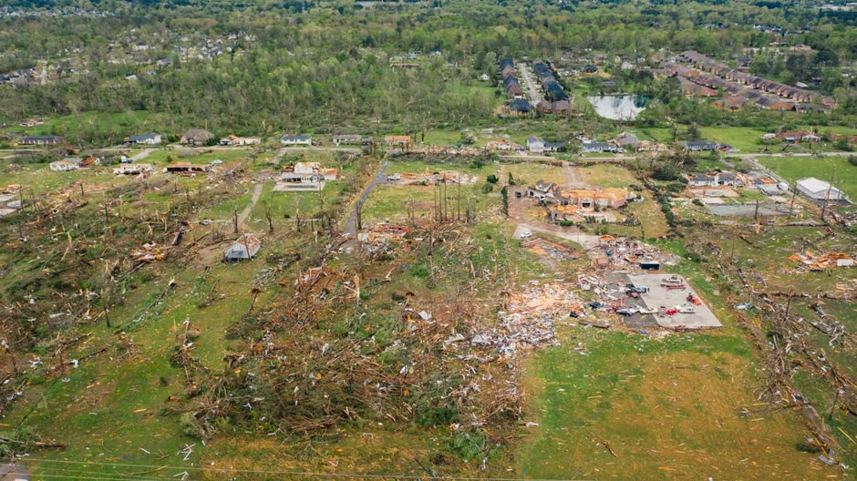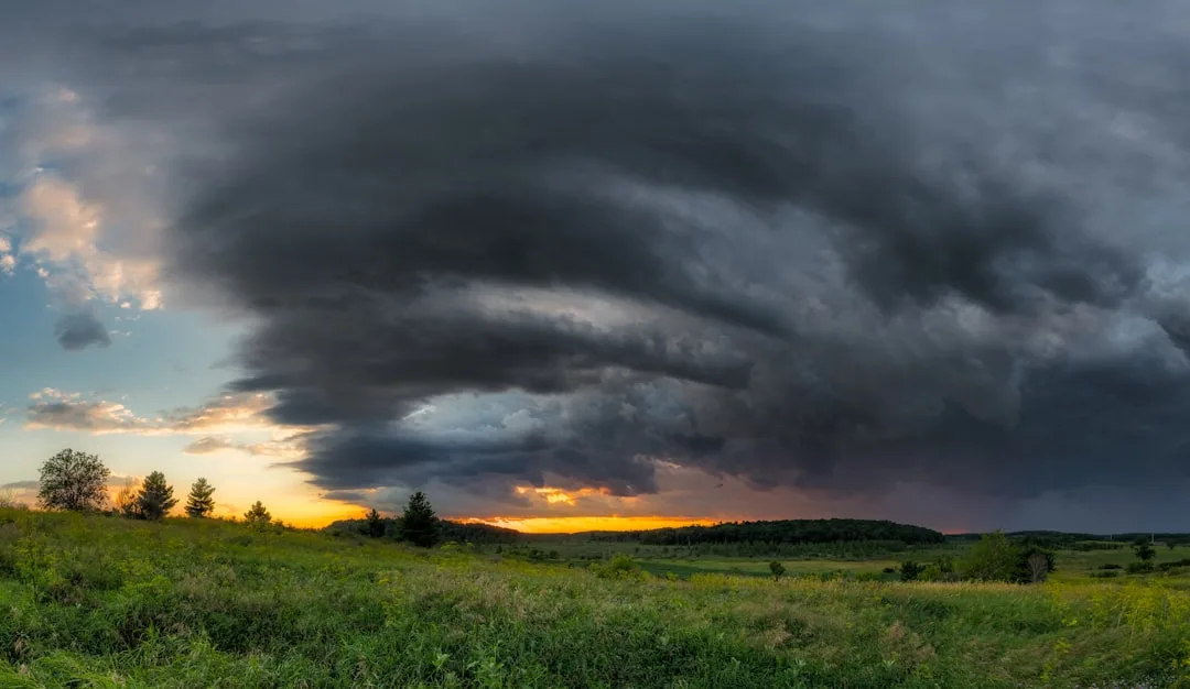
Thursday's forecast calls for hit-or-miss storms and rising temperatures across the region, with forecasters tracking scattered thunderstorm development amid high heat and humidity. The National Weather Service indicates that while not all areas will see rain, isolated storms could produce brief heavy downpours and gusty winds during peak heating hours.
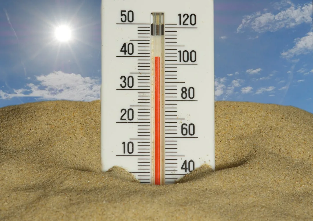
High temperatures are expected to reach the low to mid-90s Fahrenheit, with heat index values climbing into the triple digits due to abundant moisture in the air. This pattern reflects a typical summer setup where daytime heating triggers isolated convection, particularly along sea breeze boundaries and interior terrain.
We're looking at a classic summer pattern where the heat fuels scattered storm development, but coverage remains unpredictable from one neighborhood to the next, said meteorologist Laura Chen of the regional weather center. Residents should stay alert for sudden changes, especially during the afternoon and early evening when storms are most likely to form.
The scattered nature of the storms means some communities may experience rainfall while nearby areas stay dry, complicating outdoor plans and increasing the need for real-time weather monitoring. Forecasters emphasize that even without widespread rain, lightning poses a significant threat during any storm activity.
Heat safety remains a primary concern, with officials urging residents to limit strenuous outdoor activity during peak heat hours, stay hydrated, and check on vulnerable neighbors. The combination of high temperatures and humidity increases the risk of heat-related illness, particularly for those working or exercising outdoors.
Looking ahead, the hot and humid pattern is expected to persist into the weekend, with only slight variations in storm coverage from day to day. Long-range models suggest no major cool fronts are imminent, meaning the summer heat regime will likely continue through the coming days.
Understanding Scattered Thunderstorm Development in Summer Heat
Scattered thunderstorms form when daytime heating causes air to rise rapidly, creating updrafts that lead to cloud formation and precipitation. In humid environments like this region, the process is amplified by abundant moisture, which fuels stronger updrafts and can result in locally heavy rainfall despite limited geographic coverage.
This phenomenon is common during summer months when high pressure systems dominate but weak disturbances or local boundaries trigger isolated convection. Unlike organized storm systems, these pop-up storms are difficult to predict precisely in terms of timing and location, requiring constant radar monitoring and public awareness.
Residents are advised to rely on real-time weather updates from trusted sources and to have a plan for seeking shelter quickly if storms develop nearby. While the heat and storms may feel routine, each day brings new variables that can alter the forecast outcome.
Key questions
- What does 'hit or miss storms' mean in a weather forecast?
- 'Hit or miss storms' describes scattered thunderstorm activity where some locations receive rain and storms while nearby areas remain dry. This pattern is common in summer when daytime heating triggers isolated convection, making it difficult to predict exactly which neighborhoods will be affected.
- How dangerous is the combination of high heat and scattered thunderstorms?
- The combination poses dual risks: heat-related illness from high temperatures and humidity, and sudden lightning threats from isolated storms. Even if rain doesn't reach your area, lightning can strike up to 10 miles from a storm's core, making outdoor activities hazardous during peak heating hours.