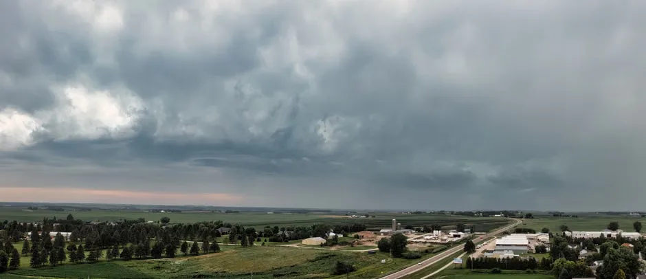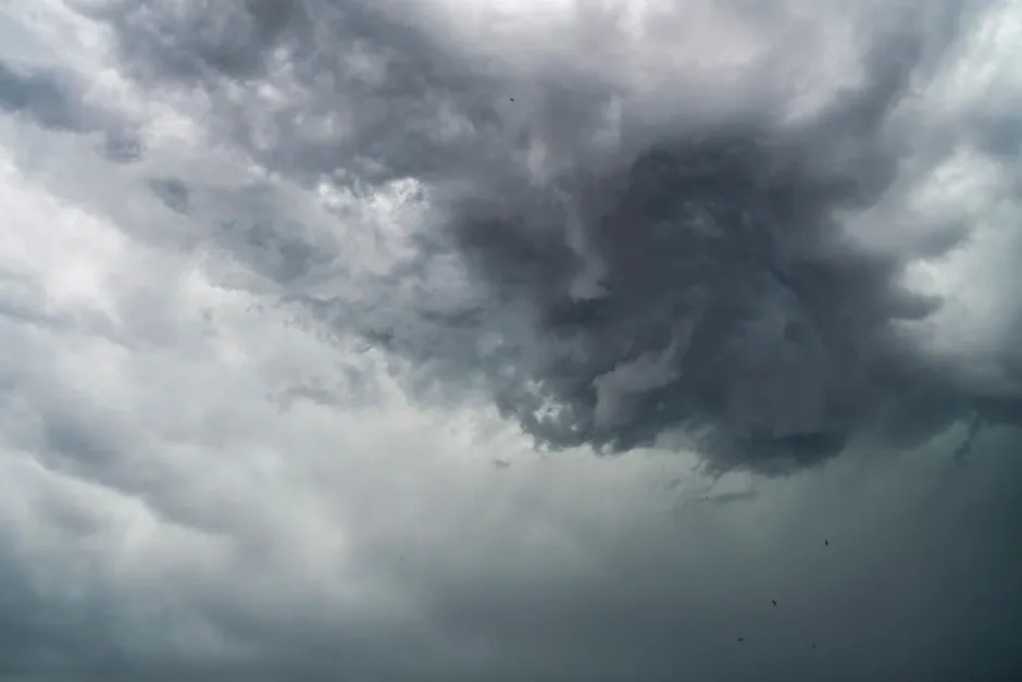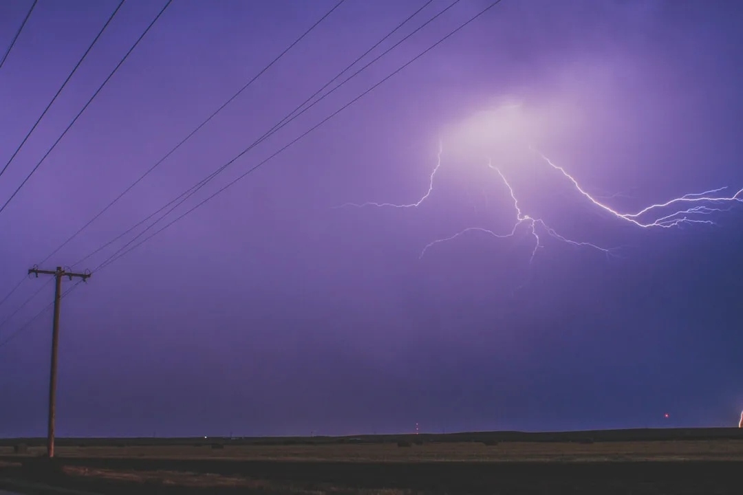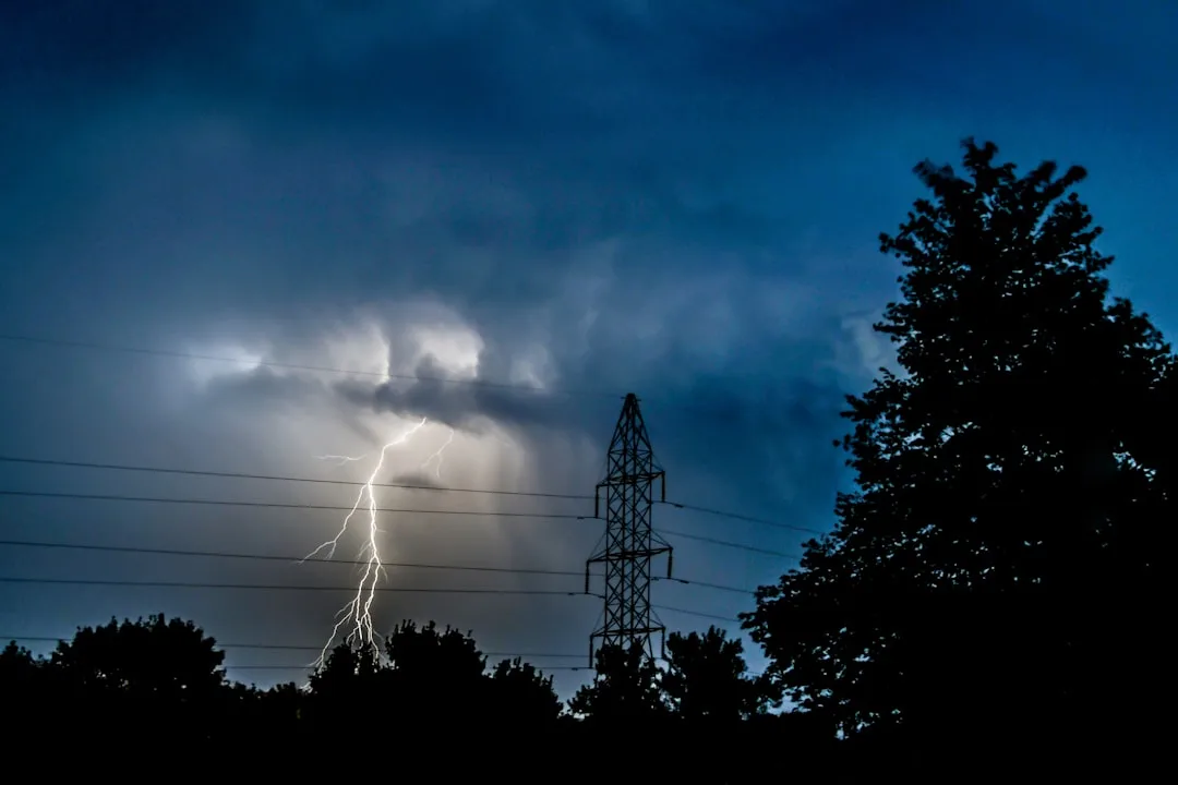
The National Weather Service in Valley, Nebraska, has issued a forecast for August 11 indicating scattered thunderstorms will develop across central Nebraska, including the Lincoln metropolitan area, during the afternoon and early evening hours. Storms are expected to initiate after 2 PM CDT and may persist into the night, driven by daytime heating and an approaching weak frontal boundary.
According to the NWS Omaha/Valley office, temperatures will reach the upper 80s to near 90 degrees Fahrenheit before storm activity increases, with dew points in the mid-60s contributing to moderate instability. Rainfall amounts are projected to range from a trace to one-half inch in most locations, though locally higher totals are possible where storms stall or train over the same area.
We're looking at a typical summer pattern where scattered convection develops during peak heating, with the main threats being gusty winds up to 50 mph and brief heavy downpours, said meteorologist Hannah Freiwald of the NWS Valley office. While severe weather is not expected to be widespread, any storm that does strengthen could produce damaging wind gusts or small hail.
The atmospheric setup features moderate instability with CAPE values between 1500 and 2500 J/kg, sufficient for pulse-type storms but lacking the deep-layer shear needed for organized severe weather. Winds aloft are light and variable, which limits storm organization but allows for slow-moving cells that could produce localized flooding in urban areas with poor drainage.
Forecasters note that the greatest coverage of storms will likely occur along and east of Highway 81, including Lincoln, Seward, and York counties, while western Nebraska may see only isolated activity. The storms are expected to diminish after sunset as daytime heating decreases and the boundary loses its forcing mechanism.
Nebraska Weather Forecast Outlook for Remainder of Week
Looking ahead, the weather pattern across Nebraska is expected to remain relatively unchanged through midweek, with continued chances for afternoon and evening thunderstorms each day. High temperatures will stay in the upper 80s to low 90s, with overnight lows in the mid-60s. Humidity levels will remain moderate, contributing to the daily storm potential.
By Thursday, a slight shift in the jet stream may bring slightly drier air into the region, potentially reducing storm coverage, though isolated convection will still be possible. No significant weather systems are anticipated to impact the state through the weekend, maintaining the typical summer pattern of diurnal thunderstorm activity driven by daytime heating.
For residents and visitors in Lincoln and surrounding communities, the forecast underscores the importance of remaining weather-aware during the afternoon hours, particularly when engaging in outdoor activities. While the storms are not expected to reach severe levels universally, the potential for sudden wind gusts and rapid rainfall accumulation warrants caution, especially for those operating high-profile vehicles or participating in water-based recreation.
Key questions
- What is the main weather threat expected in Nebraska on August 11?
- The primary threats from the scattered thunderstorms expected across Nebraska on August 11 are gusty winds up to 50 mph and brief periods of heavy rainfall. While widespread severe weather is not anticipated, individual storms could produce damaging wind gusts or small hail, particularly during the afternoon and early evening hours when daytime heating peaks.
- How much rainfall is predicted for Lincoln and surrounding areas on August 11?
- Rainfall amounts for Lincoln and central Nebraska on August 11 are projected to range from a trace to one-half inch in most locations, based on the current forecast from the National Weather Service in Valley. Locally higher totals are possible where storms stall or repeatedly move over the same area, though widespread flooding is not expected due to the scattered nature of the convection.