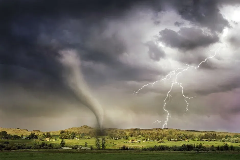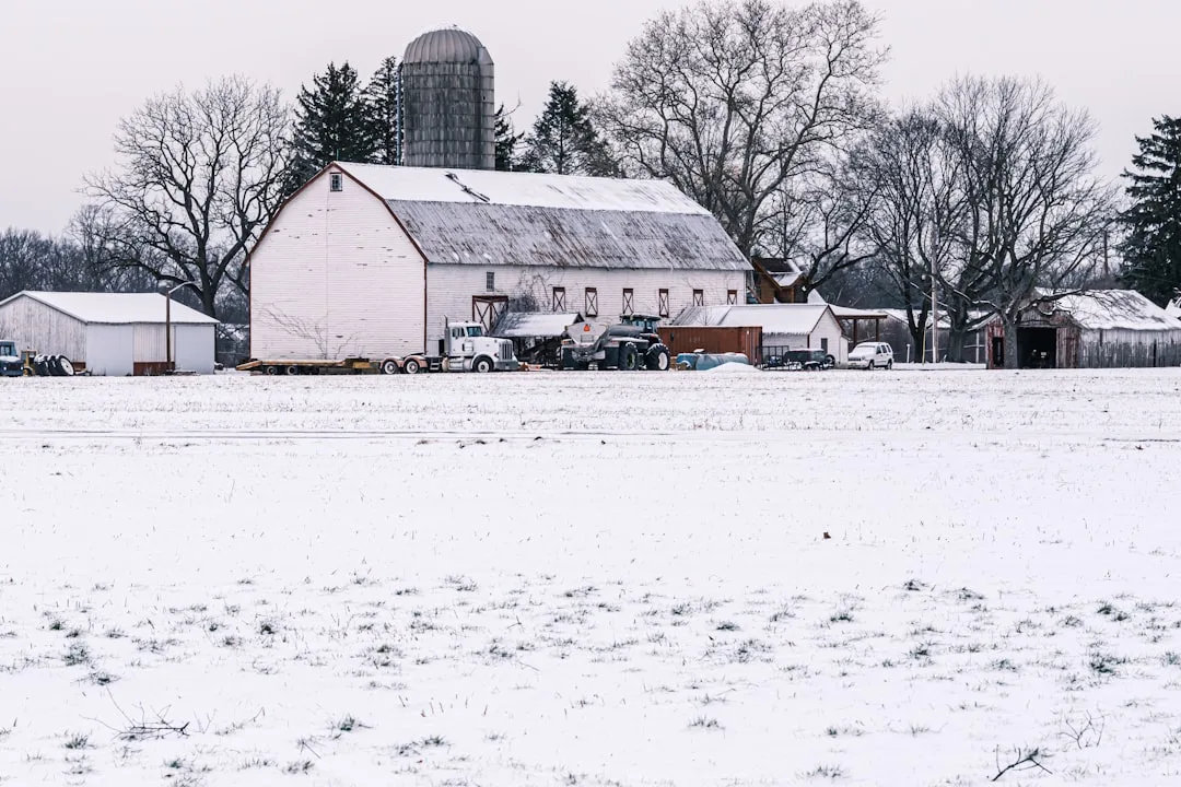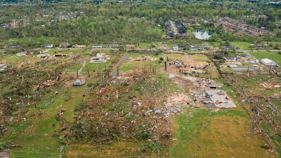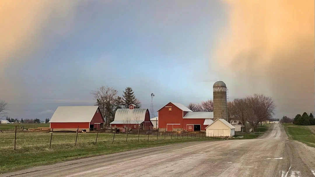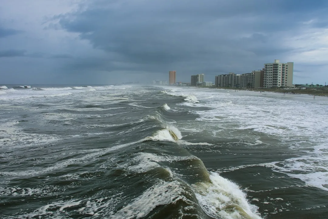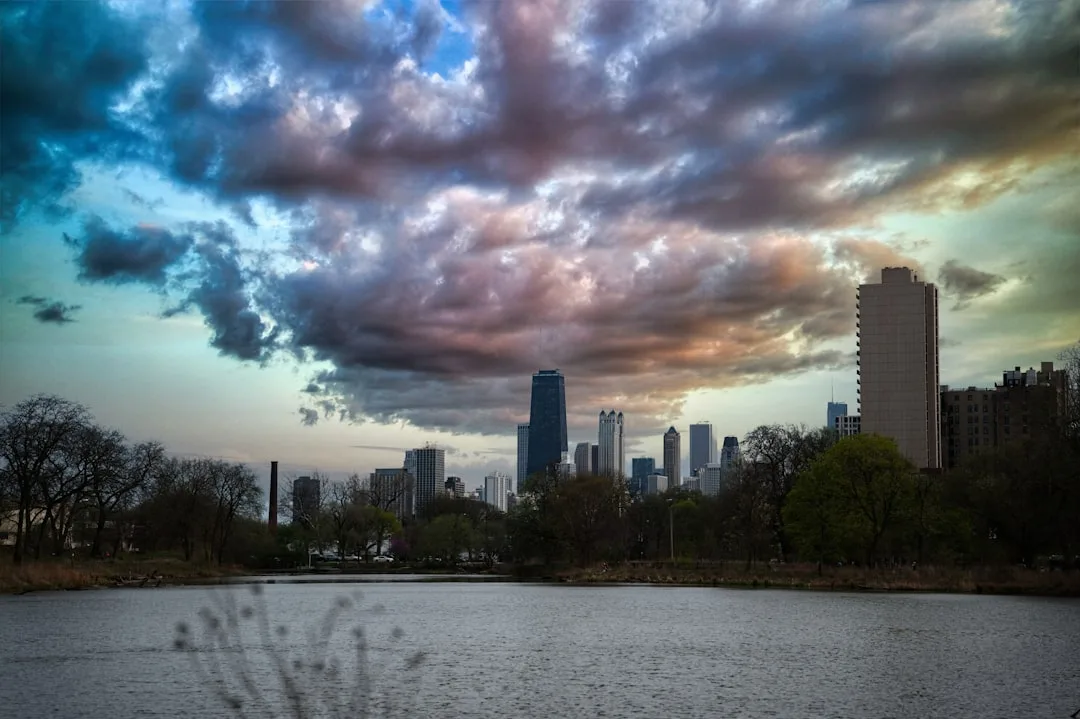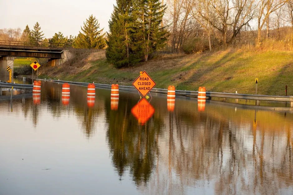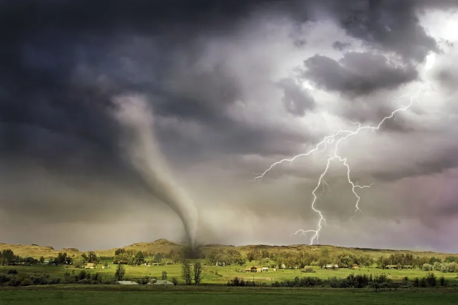
Severe storms are expected to impact the Chicago area Tuesday morning following the confirmation of two EF-1 tornadoes in LaSalle County, Illinois, according to the National Weather Service. The tornadoes struck near the towns of Ransom and Streator late Monday evening, causing localized damage to farm structures, overturning a train car, and downing trees and power lines.
Weather officials reported wind gusts up to 110 mph in the strongest pockets of the storms, with rainfall totals reaching 2 to 3 inches in some areas, raising concerns about flash flooding in low-lying regions. The storms are part of a larger system moving eastward across the Midwest, driven by a strong cold front interacting with warm, moist air from the Gulf of Mexico.
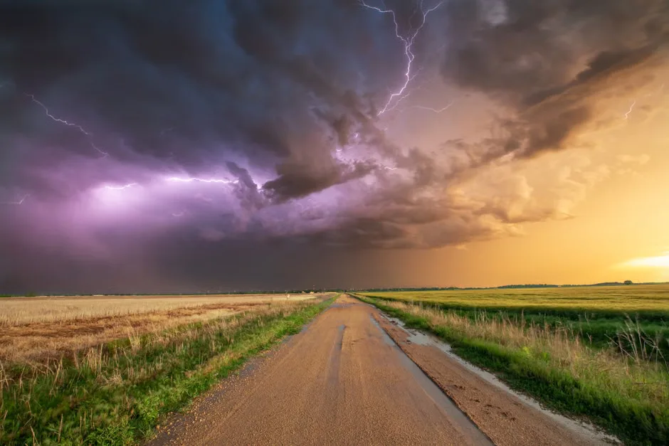
This is a classic spring severe weather setup for northern Illinois, said Meteorologist Amy Freeze of ABC7 Chicago. We have the ingredients — instability, wind shear, and lift — all coming together to support rotating storms capable of producing tornadoes, large hail, and damaging straight-line winds.
The Storm Prediction Center has issued an enhanced risk (Level 3 of 5) for severe weather across northeastern Illinois and northwestern Indiana, including the Chicago metro area. Cities such as Joliet, Aurora, and Elgin are under heightened watch for possible tornado development, damaging winds exceeding 60 mph, and large hail through Tuesday afternoon.
Residents are advised to stay alert, have multiple ways to receive warnings, and avoid travel during peak storm periods. Emergency management officials in LaSalle County urged the public to seek shelter immediately if a tornado warning is issued, emphasizing that mobile homes and vehicles are unsafe during tornadic events.
Chicago Weather Today: What to Expect Next
As the storm system progresses, the primary threats will shift from tornadoes to widespread damaging winds and heavy rainfall. Forecasters expect the strongest winds to impact the Chicago area between 8 a.m. and 2 p.m. Tuesday, with gusts potentially exceeding 50 mph in urban areas.
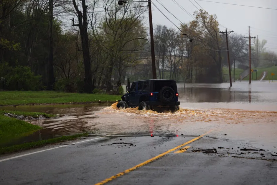
Rainfall could total 1 to 2 inches across the city and suburbs, increasing the risk of urban flooding, especially in areas with poor drainage. The National Weather Service has issued a flood watch for Cook, DuPage, and Lake counties, effective through Tuesday evening.
Looking ahead, conditions are expected to improve by Wednesday as the system moves into Michigan and southern Canada. However, another round of showers and thunderstorms is possible later in the week, keeping the pattern active for the remainder of April.
Key questions
- What caused the tornadoes in LaSalle County, Illinois?
- The tornadoes were caused by a strong cold front moving across the Midwest, interacting with warm, moist air from the Gulf of Mexico. This created atmospheric instability and wind shear, key ingredients for rotating thunderstorms capable of producing EF-1 tornadoes, as confirmed by the National Weather Service.
- Is Chicago under a tornado watch or warning today?
- As of the latest update, Chicago is not under a tornado warning, but the Storm Prediction Center has issued an enhanced risk for severe weather, including the possibility of tornadoes, damaging winds, and large hail. Residents should monitor local alerts and be prepared to take shelter if warnings are issued.