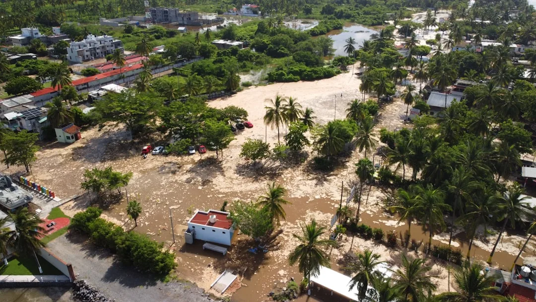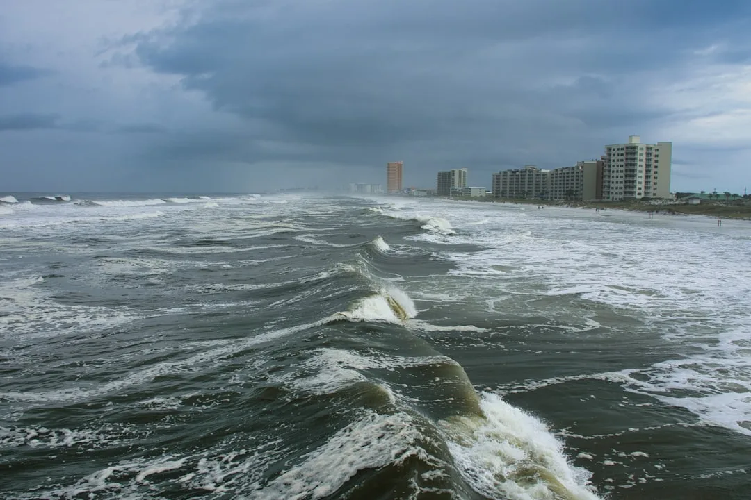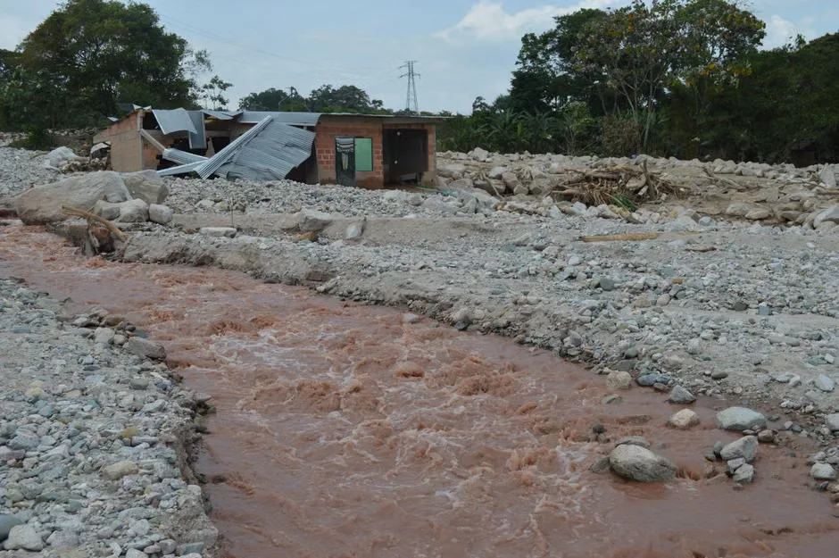
Millions of people across Texas are under a heightened flood threat as rounds of heavy rain target the Hill Country, San Antonio and parts of the Gulf Coast, according to forecasts drawing widespread public attention.
The weather risk emerged as one of the most searched topics in the United States, reflecting growing concern over the potential for flash flooding in areas already vulnerable to rapid rises in creeks, low-water crossings and urban drainage systems. Forecasts indicate that repeated downpours may develop over the same locations, increasing the chance of dangerous runoff and water-covered roads.
Officials have warned that some communities could face life-threatening flooding if the heaviest bands of rain persist. In and around San Antonio, local alerts have stressed the possibility of quick-moving flash floods, especially in poor-drainage areas and near streams. Farther north and west, the Hill Country is also being watched closely because of terrain that can funnel water rapidly into rivers and creeks.
Along the Gulf Coast, saturated ground and additional rainfall could worsen flooding concerns. Coastal counties often face added challenges when intense rain falls over short periods, overwhelming drainage infrastructure and leaving roads impassable. Forecasters have emphasized that the exact placement of the heaviest rain remains uncertain, but the broader threat zone covers a large stretch of the state.
Texas Gov. Greg Abbott has activated state emergency resources ahead of the flooding threat, a step intended to position personnel and equipment where they may be needed if conditions worsen. That preparation can include water rescue teams, emergency management support and coordination with local officials.
Residents in flood-prone areas are being urged to stay alert for changing weather conditions, monitor local warnings and have multiple ways to receive emergency information. Safety officials routinely advise drivers not to attempt to cross flooded roads, noting that even a small amount of moving water can sweep away a vehicle. People living near creeks, rivers or low-lying areas may need to move quickly if warnings are issued.
The threat comes during a period when intense rainfall events can quickly turn hazardous in Texas, particularly when thunderstorms repeatedly track over the same corridor. Meteorologists often refer to this pattern as training, and it can produce high rainfall totals in a short amount of time.
What to watch next
The main concerns in the coming hours will be where storms repeatedly develop, how quickly waterways respond and whether urban areas see flooding during periods of peak travel. Conditions can change rapidly, and officials are likely to update warnings as new radar and rainfall data become available. For many Texans, the message remains straightforward: stay weather-aware, avoid unnecessary travel in flooded areas and treat every flash flood warning as a serious threat.
Key questions
- Which parts of Texas are facing the highest flood threat?
- Forecasters have highlighted the Hill Country, San Antonio and parts of the Gulf Coast as key areas where repeated heavy rain could trigger flash flooding.
- What should residents do during a flash flood threat?
- Residents should monitor local forecasts and warnings, avoid driving through flooded roads, charge devices, and be ready to move to higher ground if officials issue alerts.