The Atlantic Hurricane Season is expected to reach historic levels of activity this year, according to recent data from the National Oceanic and Atmospheric Administration. Meteorologists are tracking anomalous warmth in the Atlantic Ocean that could fuel more frequent and intense storms across the basin.
This surge in activity follows a period of significant oceanic warming, with sea surface temperatures in the main development region remaining 1 to 2 degrees Celsius above historical averages (NOAA). Such thermal energy provides the primary fuel for tropical cyclone intensification and longevity.
The combination of warm waters and low wind shear creates a perfect environment for rapid intensification, stated a lead analyst from the National Hurricane Center.
The shift from El Niño to La Niña conditions typically reduces vertical wind shear over the Atlantic. This atmospheric change allows storms to maintain their vertical structure and grow more powerful as they migrate toward landmasses.
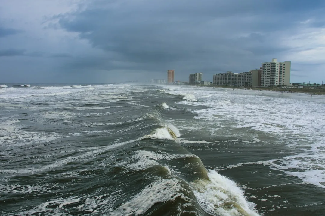
Coastal infrastructure remains particularly vulnerable to the projected increase in Category 4 and 5 hurricanes. Urban planning in the Caribbean and the Gulf Coast must now account for higher storm surges and more erratic rainfall patterns caused by slower-moving systems.
Emergency management agencies are currently updating evacuation protocols and stockpiling resources ahead of the peak activity window in September. Local governments are urging residents to finalize disaster kits and review insurance policies before the most active period begins.
Tropical cyclones are low-pressure systems that form over warm tropical waters, characterized by organized thunderstorms and a closed low-level atmospheric circulation. These systems are categorized by wind speed, ranging from tropical depressions to major hurricanes.
Preparing for the Atlantic Hurricane Season
Effective preparation involves monitoring official alerts and securing residential properties against high winds. Experts recommend focusing on water-tight seals for windows and ensuring that drainage systems are clear to prevent localized flooding during extreme precipitation events.
Key questions
- When is the peak of the Atlantic Hurricane Season?
- The peak typically occurs between late August and late October. During this window, the warmest ocean temperatures and lowest wind shear often coincide.
- What is the difference between a hurricane and a tropical storm?
- The primary difference is sustained wind speed. A tropical storm has sustained winds up to 73 mph, while a hurricane begins at 74 mph.