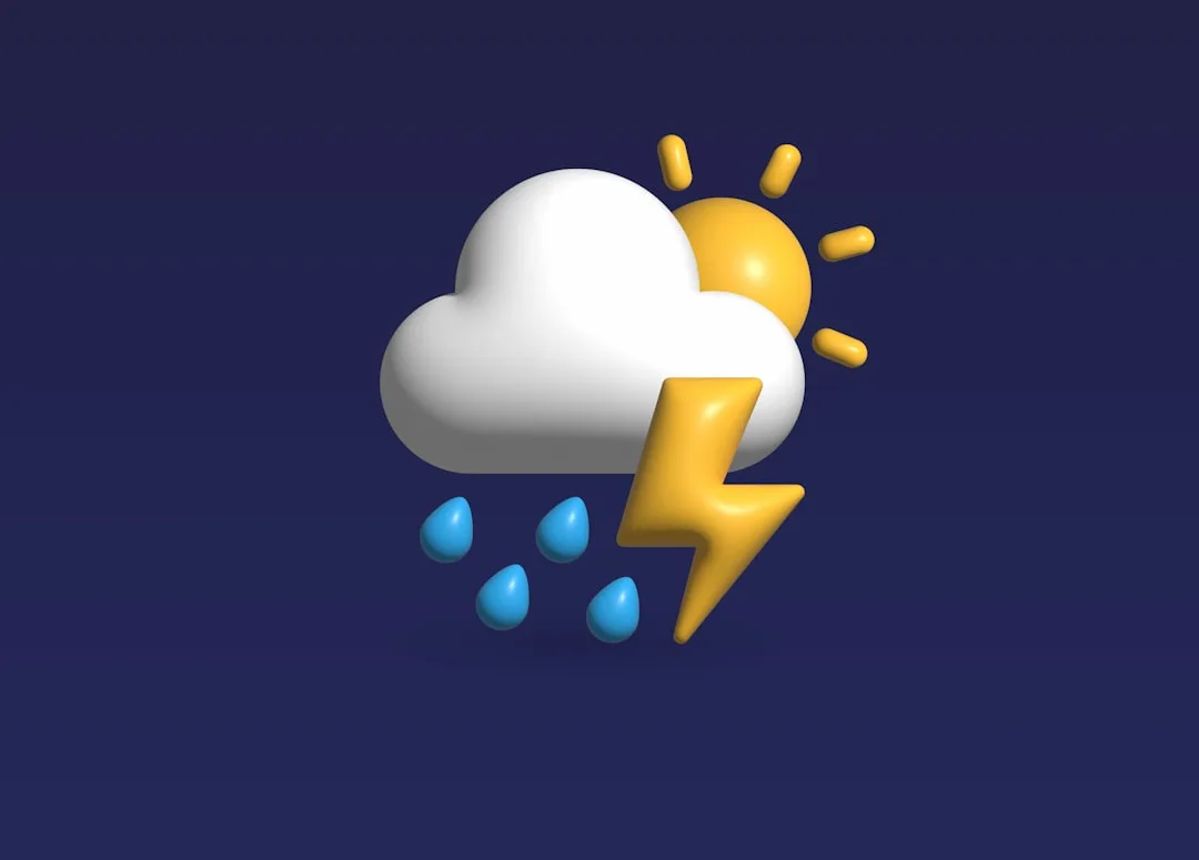
WASHINGTON — The Washington region is moving through another summer weather pattern marked by heat, humidity and the possibility of scattered thunderstorms, according to NBC4 Washington’s Storm Team4 afternoon forecast for July 10.
The update comes as residents across the District, Maryland and Northern Virginia continue to navigate conditions typical of mid-July: muggy air, building clouds and the potential for quick-developing storms during the afternoon and evening hours. While not every neighborhood is expected to see rain, forecasters often caution that summer storms can be highly localized, with one area experiencing a downpour while nearby communities remain dry.
Storm chances during this time of year can create challenges for commuters, outdoor workers and families with evening plans. Heavy rain, lightning and brief gusty winds are among the concerns when thunderstorms develop in the region. Drivers are advised to slow down during sudden downpours, leave extra space between vehicles and avoid driving through standing water.
Heat and humidity remain central concerns
Beyond any storm activity, forecasters are also watching the impact of heat and humidity. July conditions in the Washington area can push heat index values higher than the actual air temperature, increasing the risk of heat-related illness for people spending extended periods outdoors.
Health officials typically recommend drinking water throughout the day, taking breaks in air-conditioned spaces and checking on older adults, young children and people with medical conditions. Pets should also be kept out of parked cars and given access to shade and water.
For residents planning outdoor activities, the most favorable window is often earlier in the day, before heat builds and storm chances increase. Those heading to parks, pools, sports practices or evening events should keep a reliable weather alert source nearby and be prepared to move indoors if thunder is heard.
Forecast may shift through the evening
Summer weather can change quickly in the Mid-Atlantic, especially when humid air and daytime heating combine. Updated radar trends, storm reports and advisories from the National Weather Service can help residents track whether storms are strengthening or weakening as they move across the area.
The broader forecast pattern remains important heading into the next several days. If humidity stays in place, the region could continue to see periodic storm chances, particularly during the afternoon and evening. A shift in wind direction or a passing front could determine whether the area sees more widespread rain or a brief break in the muggy conditions.
Residents are encouraged to monitor local forecasts through the evening, especially if they live in flood-prone areas or plan to be on the roads. Even routine summer storms can produce hazardous conditions when they arrive during peak travel times.
Key questions
- What is the main weather concern for the Washington area on July 10?
- The main concerns are summer heat, humidity and the possibility of scattered thunderstorms during the afternoon and evening.
- How should residents prepare for scattered thunderstorms?
- Residents should monitor updated forecasts, keep weather alerts enabled, move indoors when thunder is heard and avoid driving through flooded roads.