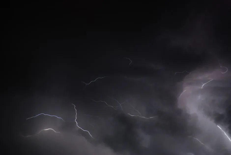
SPRINGFIELD, Mo. — Strong to severe thunderstorms remain possible across parts of the Ozarks into Saturday as an unsettled weather pattern continues to move through the region.
Forecasters are watching for storms that could produce damaging wind gusts, hail and periods of heavy rain. The greatest concern will depend on how quickly the atmosphere can recover between rounds of rain and storms, and whether pockets of stronger instability develop ahead of the next system.
The threat is not expected to be uniform for every community. Some areas may see only showers or rumbles of thunder, while others could experience stronger storms capable of prompting warnings. Residents in southern Missouri and northern Arkansas should keep multiple ways to receive alerts, especially if storms develop after dark or during the early morning hours.
What residents should watch
The main hazards with any stronger storms will be straight-line winds, hail and localized downpours. Heavy rain over a short period could lead to ponding on roads and reduced visibility for drivers. Low-water crossings and flood-prone routes may become dangerous if repeated storms pass over the same area.
An isolated tornado risk cannot be ruled out in many spring storm setups, but the specific risk level will depend on storm organization and the placement of boundaries as the system evolves. People should review their shelter plans before warnings are issued. The safest place during a tornado warning is a basement or an interior room on the lowest floor of a sturdy building, away from windows.
Outdoor plans may be affected through Saturday. Ballgames, festivals, yardwork and travel could be interrupted by lightning and heavy rain. Thunder is a sign to move indoors, even if the strongest part of a storm appears to be several miles away. Lightning can strike well outside the area of the heaviest rain.
Forecast confidence and timing
Timing remains a key question. Storm chances may arrive in waves, with breaks possible between clusters. Those breaks can make the weather appear calmer for a time, but they also can allow temperatures and humidity to rise, increasing fuel for later storms.
Drivers should slow down during downpours, turn on headlights and avoid flooded roadways. It can be difficult to judge the depth of water covering a road, and even a small amount of moving water can create a dangerous situation.
Emergency managers recommend charging phones, checking flashlight batteries and securing loose outdoor items before storms arrive. Patio furniture, trash bins and decorations can become hazards in strong winds.
Updated watches and warnings will be issued by the National Weather Service if conditions warrant. Residents should follow local forecasts through Saturday and be ready to act quickly if severe weather alerts are issued for their county.
Key questions
- What are the main storm threats into Saturday?
- The primary concerns are damaging wind gusts, hail, heavy rain and lightning. Localized flooding may occur where storms repeatedly move over the same area.
- How should residents prepare for severe weather?
- Residents should keep multiple ways to receive warnings, charge phones, secure loose outdoor items and know where to shelter if a severe thunderstorm or tornado warning is issued.