A strengthening El Niño is becoming a central factor in early assessments of the 2026 Atlantic hurricane season, as forecasters examine how warmer-than-average waters in the central and eastern Pacific could influence storm activity across the Atlantic basin.
El Niño, a recurring climate pattern tied to shifts in Pacific Ocean temperatures and atmospheric circulation, can affect weather thousands of miles away. In the Atlantic, it is often associated with stronger upper-level winds, known as wind shear, that can disrupt developing tropical systems. That does not eliminate hurricane risk, but it can change where storms form, how quickly they intensify and how long they survive.
The Weather Channel reported that an intensifying El Niño is poised to reshape expectations for the 2026 season. The outlook remains subject to change, particularly because hurricane activity also depends on Atlantic sea-surface temperatures, moisture levels, Saharan dust outbreaks and short-term steering patterns that become clearer closer to the peak months.
What El Niño can mean for the Atlantic
During many El Niño years, increased wind shear over parts of the Caribbean Sea and tropical Atlantic can make it harder for storms to organize. Shear tilts developing systems, separates thunderstorms from their centers and can prevent tropical depressions from becoming stronger hurricanes.
Still, the relationship is not automatic. A warm Atlantic can offset some of El Niño’s suppressing influence by supplying more heat energy for storms. If sea-surface temperatures remain high, even a less active season can produce dangerous hurricanes. Landfall risk also depends less on the total number of storms and more on where individual systems track.
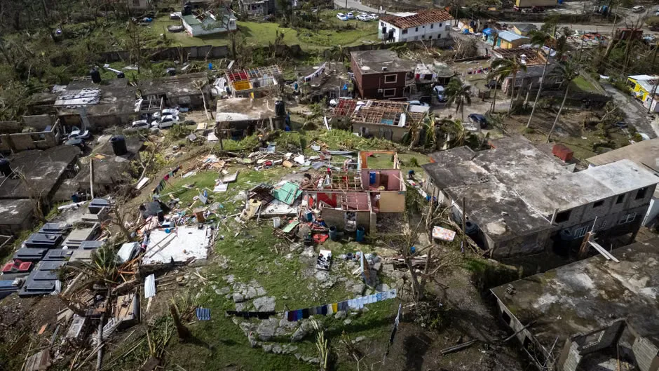
Seasonal outlooks typically describe broad probabilities rather than specific threats to any coastline. Emergency managers often caution residents not to rely on whether a season is labeled above normal, near normal or below normal. A single storm can produce catastrophic flooding, storm surge and wind damage.
Preparedness remains the main message
The Atlantic hurricane season runs from June 1 through Nov. 30, with activity usually peaking from mid-August through October. Coastal residents from Texas to New England, as well as communities in the Caribbean, Central America and parts of eastern Canada, are urged to review evacuation zones, insurance coverage and emergency supplies before storms develop.
Forecasters will continue to monitor the evolution of El Niño and its interaction with Atlantic conditions through the season. Updates from the National Hurricane Center, the Climate Prediction Center and local weather offices will provide more specific information as systems form.
For now, the developing pattern points to a season in which large-scale climate signals may play an important role, but not the only one. The practical takeaway is unchanged: Hurricane risk is local, and preparation should begin well before watches or warnings are issued.
Key questions
- How can El Niño affect Atlantic hurricanes?
- El Niño can strengthen upper-level winds over parts of the Atlantic basin. That wind shear may disrupt developing storms, though warm Atlantic waters and other weather patterns can still support dangerous hurricanes.
- Does a less active hurricane season mean lower risk?
- Not necessarily. Seasonal totals do not determine local danger. Even one hurricane or tropical storm can cause severe flooding, storm surge and wind damage if it affects land.