
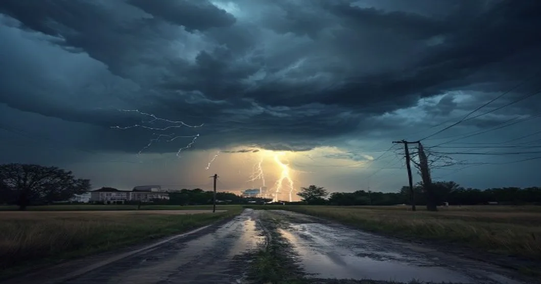
Severe weather chances have increased for the Kansas City area this afternoon and evening, according to a weather update from KMBC, raising the need for residents to stay alert as the day progresses.
The threat centers on the potential for thunderstorms to strengthen during the later hours, when daytime heating, moisture and an approaching weather disturbance can help storms become more organized. While not every neighborhood will see severe weather, conditions may support storms capable of producing damaging wind gusts, hail and frequent lightning if they intensify.
Forecast confidence can shift through the day as meteorologists track cloud cover, temperature trends and where storms first develop. A few degrees of warming or a break in the clouds can make a meaningful difference in how unstable the atmosphere becomes. That is why forecasters often emphasize updated radar and short-term alerts during days with rising severe weather potential.
What residents should watch for
People in the Kansas City metro and nearby communities should monitor local forecasts, National Weather Service alerts and live radar through the afternoon and evening. A severe thunderstorm watch would mean conditions are favorable for severe storms to form. A warning would mean severe weather has been detected or indicated by radar and that people in the warned area should take shelter immediately.
Outdoor plans may need to be adjusted, especially for evening commutes, school activities and sporting events. Lightning can become dangerous well before heavy rain arrives, so anyone who hears thunder should move indoors. Drivers should slow down during downpours, use headlights and avoid flooded roads, even if the water appears shallow.
Residents can prepare by securing patio furniture, trash bins and other loose outdoor items that could be blown around by strong wind. Phones should be charged, weather alerts should be enabled and families should know where to go if a warning is issued. The safest place during severe storms is typically a basement or an interior room on the lowest level of a sturdy building, away from windows.
Timing remains important
The highest concern is expected later in the day, but the exact timing and coverage of storms may vary. Some areas may experience only brief rain or remain dry, while others could see stronger cells move through quickly. Forecasters will refine the outlook as storms develop and atmospheric conditions become clearer.
Weather officials urge the public not to rely on outdoor sirens alone, because they are intended primarily for people outside and may not be heard indoors. Multiple ways to receive warnings, including a weather app, NOAA Weather Radio and local media, can help ensure alerts are received in time.
For now, the main message is readiness rather than alarm. With the severe weather risk increasing for the afternoon and evening, residents should keep checking trusted forecast sources and be prepared to act quickly if warnings are issued.
Key questions
- When is the highest severe weather risk for the Kansas City area?
- The increased risk is focused on the afternoon and evening, though exact timing can change as storms develop and forecasters review radar and atmospheric conditions.
- What should I do if a severe thunderstorm warning is issued?
- Move indoors immediately, stay away from windows and go to a basement or an interior room on the lowest level of a sturdy building until the warning expires.
